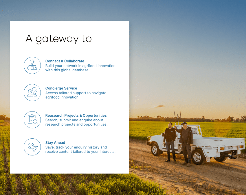
Rice growing operations rely on good information to make the best use of the available water to produce high quantity and quality rice. This project delivers such information that will enable growers to optimally manage their operations to boost water productivity. Information will be provided to growers through alerts, and will include automatic detection of paddy water, notification of key growth stages when water and nutrient management decisions need to be made, optimal field drainage and harvest timing, and early prediction of yield potential for post-harvest planning.
The project will leverage spatial and time series data including satellite imagery, which covers the whole rice industry multiple times every week. This rice canopy reflectance measured by satellite is related to water and nutrient status, biomass, growth stage and moisture content. This data will be combined with per-season productivity and field sampled phenology data, and transformed into predictive models using statistical and machine learning techniques. Model predictions will be thoroughly validated over different management practices, varieties, regions and seasons. The outputs will also add value to rice industry databases, facilitating more powerful benchmarking and field management optimisation analyses which will provide best-practice recommendations to growers.
-crop-850x675.png)