What is Drone Weed Mapping?
Drone weed mapping has proven to be a cost-effective way of managing weeds in crops with less chemicals and less labour.

What is Drone Weed Mapping?
In an average year pests and weeds are estimated to cost Australian agricultural producers at least $5.3 billion, with weeds contributing 82% of the total. While conventional chemical weed control is effective in controlling weeds, it can be costly and time consuming.
Conventional chemical weed control typically involves widespread application of herbicides across entire fields using a boom spray.
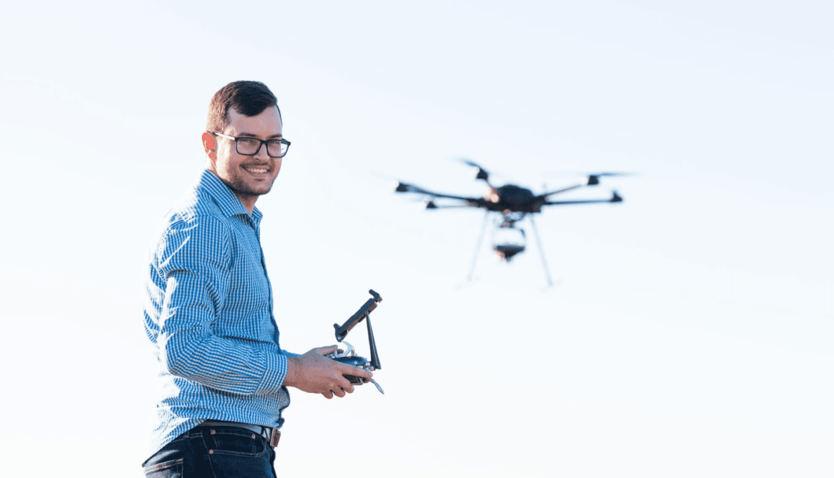
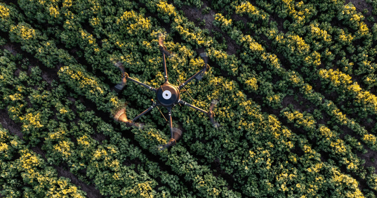
Drone weed mapping is a comparatively new innovation which uses drone equipment fitted with cameras and sensors to fly over fields and collects data on the location and size of weeds amongst crops or in fallows, which is then processed into a prescription map.
Drone weed mapping has proven to be a cost-effective way of managing weeds in crops as less chemical is used to spray areas and the labour to operate the machinery is reduced. Likewise, the impacts on surrounding pastures and environments are also reduced as the chance of spray drift is less likely.
While drones – and their associated technologies – are becoming increasingly sophisticated, the cost to entry is dropping as their use becomes more widespread. This makes them a more viable option for farmers and producer groups looking for better options for weed management.

How does Drone Weed Mapping work?
The drones are programmed to a flight path mapped through GPS. While flying, the cameras and sensors fitted to the drones take several images a minute to identify the location and size of weeds within crops and fallows. This data is then converted into a prescription map.
The prescription map will show you where and how many weeds are in the field, from here farmers can make the decision on how they would like to spray the field, weather they require broadacre application, spot spraying or a combination.
The map can be loaded into a boom spray with embedded optical spray technology which drives through the fields and turns on individual spray nozzles to only spray the weeds in a spot spraying pattern across the field. If the drone is fitted with optical spray technology, it can return to the weeds in the field and spot spray the weed in the crop too.
Optical spray technology works through using green-on-brown systems (in fallow) or green-on-green systems (in crop) which use artificial intelligence (AI) camera technology to detect the difference between grass plants and broadleaf plants (or brown soil).
-width-1680.png)
Frequently asked questions (FAQs)
Is a pilot required to operate my drone?
Yes, a pilot must be present for drone operation. If you're using the drone for work, registration and obtaining a license or accreditation are necessary. Learn more about drone operation requirements at: https://www.casa.gov.au/knowyourdrone/drone-rules
Can I directly download the prescription map to my boom spray?
For successful adoption of the system, compatibility with the drone software is essential, including having a compatible GPS section controller and maintaining spray rates during section changes.
Will weather affect weed mapping?
Adverse weather conditions like high winds or precipitation can hinder drone flights, reducing data collection opportunities and affecting mapping accuracy.
How soon can I expect precision map data?
Data processing from drone captures can be intricate and time-consuming, but producing a spray map on the same day as the flight is feasible. Planning ahead and preparing maps before spraying is necessary.
Read more: The weed-mapping drone that goes the extra mile, slashing chemical use and saving money - growAG

-crop-850x675.png)
Looking for engagement?
Showcase your commercialisation opportunity today.
Talk to our team to discuss how growAG. can connect your innovation to industry.
Have questions? Find answers to our most frequently asked questions on research projects, commercial opportunities, organisations and more.


